Day Hikes in the Albuquerque Area
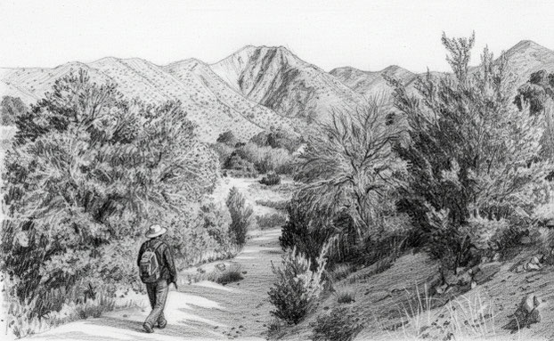
While some of the hikes listed below can be turned into overnight trips, as an "old dog" I prefer daytime rambles. Each hike is, at most, an all-day hike, in the sense of including driving time, going slowly enough to appreciate where you are, and saving a little daylight in case things don't go as planned. Each hike can be done by an experienced hiker in decent shape. Before doing any of the hikes, be sure to read my "caveats" at the bottom of the page.
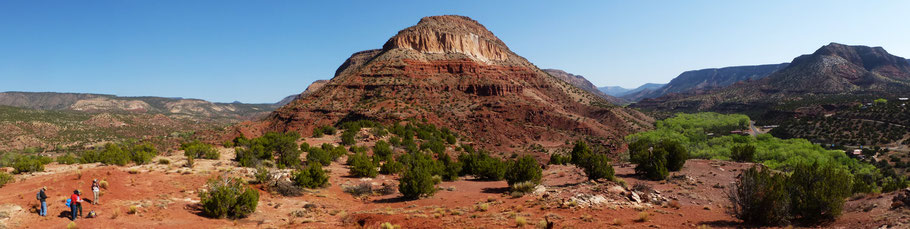
Jemez Mountains via San Ysidro
The short but lovely Red Rock Trail at Jemez Pueblo
Joan Delaplane Trail at Jemez Springs
Upper Virgin Canyon via Jemez Springs and La Cueva
Calaveras Canyon via Jemez Springs and La Cueva
Río Cebolla (Oat and Hay Canyons) via La Cueva
Barley Canyon via Jemez Springs and La Cueva
Hay Canyon via Jemez Springs and La Cueva
El Cajete in the Valles Caldera
Sulphur and Alamo Canyons in the Valles Caldera
Holiday Mesa via Gilman Tunnels
Stable Mesa via Gilman Tunnels
Schoolhouse Mesa via Gilman Tunnels
San Miguel Mountain via Gilman Tunnels
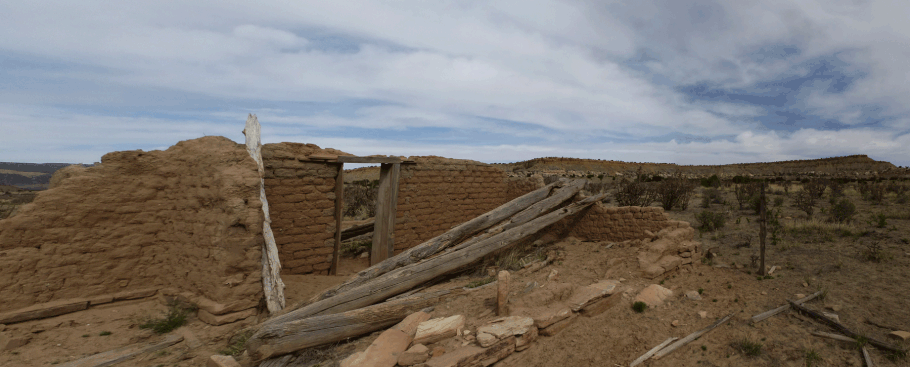
Astialakwa and Patokwa (archaeological hike)
Amoxiumqua (archaeological hike)
Kwastiyukwa (archaeological hike)
Tovakwa (archaeological hike)
Kiatsukwa (archaeological hike)
Schoolhouse Mesa (archaeological hike)
Boletsakwa (archaeological hike)
Sayshukwa (archaeological hike)
To the Northwest via U.S. 550

Ojito Wilderness: Dinosaur Dig Mesas
Ojito Wilderness: Mesa Bernalillito
Ojito Wilderness: Hoodoos and Pines
Ojito Wilderness: Slick Rock Country via Marquez Wash
Cañada Lucero on Mesa Portales
Clear Creek and San Gregorio Reservoir in the San Pedro Parks Wilderness
Guadalupe Ruin in the Rio Puerco Valley
Las Milpas Ridge (archaeological hike)
Tapia Canyon (archaeological hike)
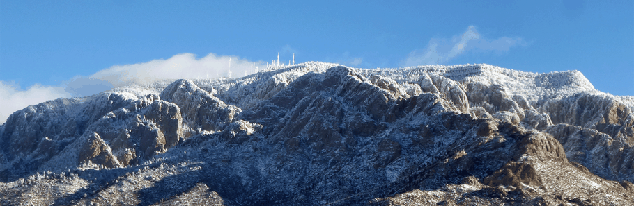
Sandia, Manzanita, and Manzano Mountains
For a list of the medallion trees (monument trees) in the Sandias, see this blog.
Juan Tabo Canyon in the Sandia foothills
Jaral Canyon in the Sandia foothills
Chimney Canyon loop via the Tramway Trail
TWA Canyon in the Sandias
Pino Trail in the Sandias
Embudito Trail in the Sandias
Embudo Trail in the Sandias
Mano Trail loop hike in the Sandias
A quick jaunt to the Aluminum Yucca
Three Gun Spring Trail in the Sandias
Carlito Springs Open Space in the Sandias
South End of the Crest Trail and CCC Trail in the Sandias
South Crest-Faulty Trail loop hike in the Sandias
Ojito de San Antonio Open Space in the Sandias, and a trail map.
Loop hikes using official trails in the Doc Long-Sulphur Canyon-Cienega Canyon area of the Sandias
The "Old Fence Trail," an unofficial route in the same area.
Challenge Trail in the Sandias
Tree Spring Trail in the Sandias, and the inside skinny on Tree Spring.
Tecolote Trail in the Sandias
An easy trail to Capulin Peak in the Sandias, including a connector route from Balsam Glade
An easy trail to an overlook for upper Las Huertas Canyon
Rocky Point Trail-Crest Trail Loop in the Sandias
The "delightful mess of trails" below Crest House in the Sandias
Gravel Pit Trail in the Sandias
Crest Spur Trail loop hike in the Sandias
North Crest Trail, North Sandia Peak, and the Survey Trail
A note on the "Crest Spur Route" that parallels the North Crest Trail
Notes on the Ellis Trail and a Power Line Route in the Sandias
10K Trail north from the Sandia Crest Highway
10K Trail south from the Sandia Crest Highway
The Double Eagle Trail from the 10K Trailhead to the Sandia Peak Ski Area
North Faulty Trail in the Sandias
A note on the new access route for the Del Agua Trail
There is no direct public access to the Cañoncito Trail and Bart's Trail (but consider using the Casa Loma route).
Sandia Mountains northeast foothills near La Madera
Golden Open Space in the East Mountains
Milne-Gutierrez Canyon Open Space in the East Mountains, and a trail map
San Antonito Open Space in the East Mountains, and a trail map
Ojito de San Antonio Open Space in the East Mountains
Tunnel Canyon loop hike in the Manzanita Mountains
Otero Canyon in the Manzanita Mountains
Notes on Cedro Peak in the Manzanita Mountains
David Canyon in the Manzanita Mountains
An easy loop hike that starts at the Pine Flat Picnic Area in the Manzanita Mountains.
Bear Scat and Rocky Top Trails in the Manzanita Mountains
Lower Pine Trail in the Manzanita Mountains
A trail map for the Manzanita Mountains
Fourth of July High Loop in the Manzanos
Driving instructions for getting to the trailheads at the old JFK Campground.
Salas Trail and Salas Cabin in the Manzanos
Monte Largo Canyon in the Manzanos
To the West via Interstate 40
Mesita Blanca near Tohajiilee
"Mesa Olvidada" near Mesa Cocina, north of Tohajiilee
A bit of CDT on Mount Taylor near Grants
Bluewater Canyon Trail near Grants.
Lobo Canyon Trail (and petroglyphs) in El Malpais National Conservation Area.
To the South via Interstate 25
Sevilleta National Wildlife Refuge nature trails
Gonzales Mine via the Quebradas Backcountry Byway
Magdalena Mountains via Water Canyon
Plus Ultra
Close to Home
Albuquerque Bosque and Corrales Bosque along the Rio Grande
The Sacred Spiral in the Placitas Open Space.
For a truly different ramble in the Albuquerque Bosque, check out the Glass Garden.
Navajo Draw near Rio Rancho
Try an adventure on state trust land.
If you're looking for alternative places to ramble, including during federal forest closures, consider New Mexico's state trust lands. To find out more, including about some specific adventures, check out the SLO's Open for Adventure web page.
By law, every private use of state trust must generate revenue to support New Mexico's educational system. Because of that, recreational use of state trust land requires a $35.00 annual permit, which can include multiple family members. As you fork over the dough, think about the kids whose education you're advancing.
There are rules to follow, and some state trust lands are closed to recreational use. Be sure to read the online instructions (and your permit) carefully before going anywhere. The SLO's online interactive map will help you find the trust lands scattered across the state.
Caveats
I'm in my seventies now, and it may have been years since I last did a hike described on this web site. Routes, conditions, and access may have changed. Don't blindly trust any single online source of information.
Most of the hiking pages assume that you have a GPS unit and know how to use it. While I provide coordinates for waypoints, errors are possible. Before you do any of these hikes, plot the waypoints (in Google Earth, for example) and study the route. Also, no hiking guide is a substitute for past experience, the right gear, and common sense.
Many of these places don't have cell phone coverage so if you get yourself into trouble, be ready to get yourself out of it.
Most hikes in the Southwest require that you carry all the water you will need. Water sources listed in a hiking guide may be dry when you get there. If you find water in the wilds, purify it before using it.
Some of my hikes are to isolated archaeological sites. By law, the locations of most sites are kept confidential to protect the sites from vandalism. For hikes to those sites, the access route is described on a password-protected page. Those with a legitimate reason to visit the sites can obtain the password by contacting me.
Even on non-archaeological hikes, it's common to encounter archaeological remains in New Mexico. Keep in mind that unauthorized disturbance of sites, even keeping "just" one artifact, is a crime. This applies to historical artifacts as well as prehistoric ones. For ethical hikers, the only "artifacts" to be taken from the landscape are other peoples' recent trash.