South Crest-Faulty Loop Hike in the Sandias
On a separate page, I describe various options that begin by parking at the south end of the Crest Trail. Here I’ll break out one of those options: a short (roughly half a day) loop hike involving the Crest, Faulty, and Upper Faulty Trails. Much of the route is in dappled shade, so an option for summer hiking—but you’ll enjoy it more in the spring or fall.
From Albuquerque, head east on I-40. Take the Tijeras exit and where the exit lane splits, take the right fork. About 300 meters later, where the exit lane curls right, take a left (north) turn and pass under I-40. As soon as you’re through the underpasses turn right, then take the left fork. Follow Arrowhead Trail, which becomes Thunderbird Trail, and park at 35 deg. 5.375 min. N, 106 deg. 23.479 min. W (6560 feet). The access route is paved all the way to the parking lot, and suitable for all passenger vehicles.
The Crest Trail (130) south trailhead is on the west side of the parking loop. Within a few steps, you’ll be in wilderness. Head up Hondo Canyon to 35 deg. 5.700 min. N, 106 deg. 23.577 min. W, where a spur trail leads to “travertine falls”—usually just a trickle. After admiring the falls for about thirty seconds, use the bit of unofficial trail to your right to rejoin the Crest Trail. Continue up that trail to 35 deg. 5.851 min. N, 106 deg. 23.836 min. W, the Faulty Trail (195) branches off to the right (north).

This is where the loop part of the hike begins; here I assume that you turn onto the Faulty Trail. If you take the loop in that direction, the remaining vertical gain for the hike (about 560 feet) will be spread out over a couple of miles.
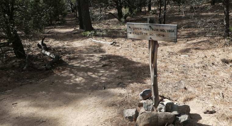
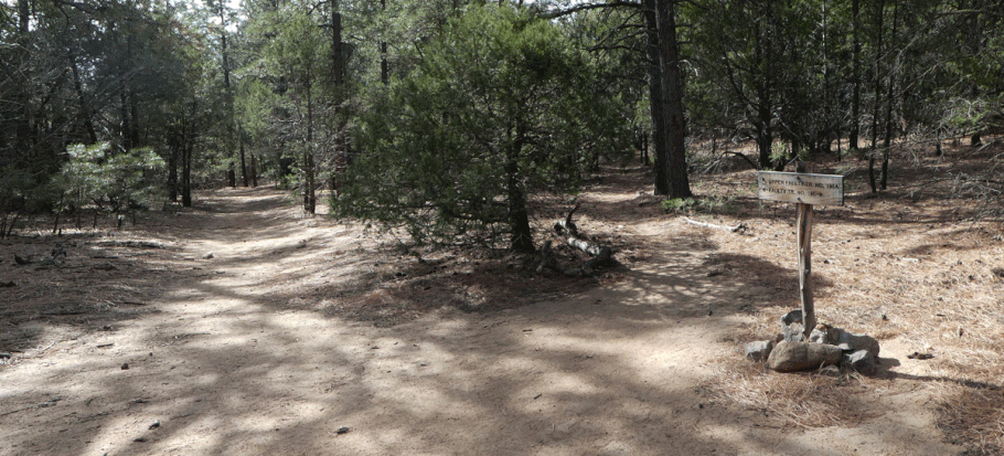
As you head north and slowly upward on the Faulty Trail, you work your way from juniper-piñon woodland into ponderosa forest. At 35 deg. 6.718 min. N, 106 deg. 28.874 W, The Faulty Trail (195) and Upper Faulty Trail (195A) merge. At this junction, make a sharp left turn to follow the Upper Faulty Trail southward. Much of the Upper Faulty is also in ponderosa forest.
At 35 deg. 5.931 min. N, 106 deg. 24.354 min. W (7600 feet), right after a prominent pile of rocks, the Upper Faulty Trail rejoins the Crest Trail. Turn left and follow the Crest Trail as it heads more or less east and descends rapidly into Hondo Canyon. At the junction with Lower Faulty Trail, continue down the Crest Trail, back to your car.
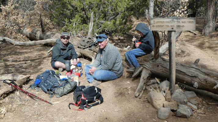
At the junction of the Crest and Faulty trails, your other option is to continue on the Crest Trail. If you do, you’ll soon be working your way up switchbacks, which climb 560 feet over a distance (as the crow flies) of half a mile. The reward for your virtue will be that once you’re done with the switchbacks, the rest of the hike is a glide path back to your car. Turn onto the Upper Faulty Trail, follow that northward to the junction with the Faulty Trail, and follow that trail southward to its junction with the Crest Trail, completing the loop portion of the hike.