The No-Name Trail from the 10K Trailhead to the Upper Tram Terminal
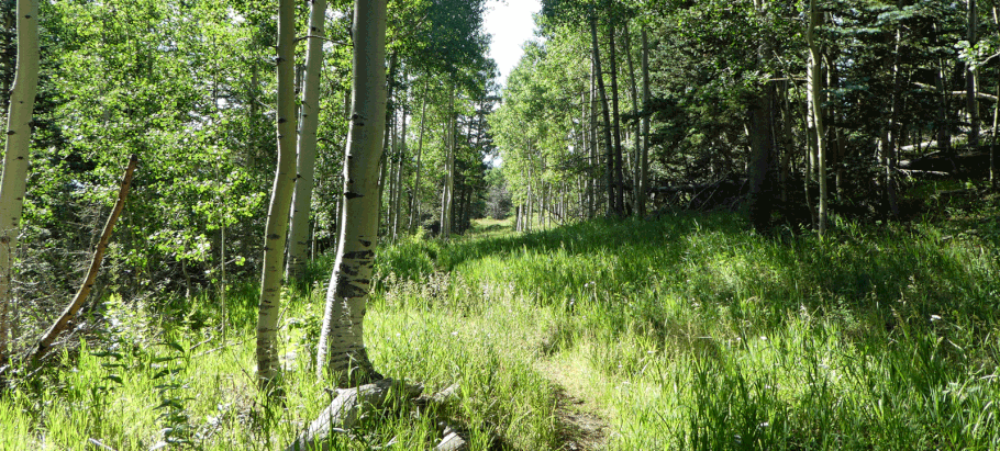
The south leg of the 10K Trail crosses the Sandia Peak Ski Area well below its upper end. If you’d rather do a shorter hike that ends at the upper tram terminal, this trail will take you there. I haven’t found the trail in a book or on a map; if it has a name I don’t know what it is. The trail follows an old road bed and is well-used, so I’m surprised it isn’t published. It’s an easy, mostly shady, mostly rock-free route with the usual ups and downs. For a video preview, click here.
To reach the start of the trail, follow the access instructions for the south 10K Trail. Where the combined 10K–Challenge Trail heads down into the woods, a few meters from the parking area, turn onto a fainter path that heads SSE along the downhill edge of the big firebreak. At 35 deg. 12.475 min. N, 106 deg. 26.073 min. W, take the left fork in the path and drop into the woods. You’ll find yourself on an old road bed that takes you generally southward.
At 35 deg. 12.103 min. N, 106 deg. 25.955 min. W, you come to a fork in the trail. As Yogi Berra said, take it. If that’s not specific enough, take the right fork. But as you’ll see in minutes, for once the choice isn’t critical.

The photo shown above was taken where the right fork of the trail enters the northernmost run of the Sandia Peak Ski Area (the Double Eagle Ski Trail). This fork of the trail curls right and heads up the ski run. Notice the second trail in the left-hand part of the picture. That’s the left-hand fork of the trail, mere meters away. If you follow out the left fork you’ll continue into the heart of the ski area. But you’re on the right-hand fork of the trail, que no? So follow that path straight up the ski run.
(A bit of back story: the ski area is riddled with loops of mountain bike trail, as you can see on this map. The fork in the no-name trail is actually where the trail arrives at the outer point of a big hairpin turn. If you take the left fork and stay on the bike trail as it meanders downward, you’ll wind up at the base of the ski area. If you take the right fork and follow those turns, you’ll wind up at the upper tram terminal. But plowing straight up the run, following the obvious path, is way faster.)
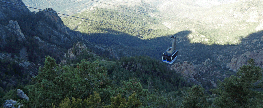
At the top of the ski run is the upper tram terminal (at 35 deg. 11.738 min. N, 106 deg. 26.030 min. W) and restaurant. Once there you have multiple options for loop hikes. You can take one of several trails that trend northward along the crest of the Sandias, then use other trails (including the Challenge Trail) to get back to your car. Or you can take the Crest Trail south to the south end of the 10K Trail and follow that northward—since the trailhead is where you parked. Or just retrace your steps to keep it short and sweet. As a guess, this last option is 1 1/4 miles each way.
Update 8/18/2019: I learned that the Forest Service is considering revisions to its trail system in the Sandia Mountains, including converting unofficial routes into numbered trails. The route described here is among those being considered for conversion.
