San Antonito Open Space in the East Mountains
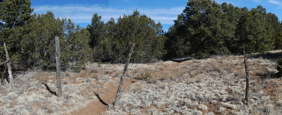
Not to be confused with the nearby Ojito de San Antonio Open Space, this patch of open space in the East Mountains measures about half a mile on a side. While not spectacular, it’s good for an hour or two of easy rambling in piñons, junipers, scrub oak, and occasional ponderosas. The trails are bare furrows, and the whole place gets muddy after rain or snow, so save this one for dry weather.
To reach the open space, take I-40 east from Albuquerque. At Exit 175, take NM 14 (aka the Turquoise Trail) northward. About 1.3 miles north of the Cedar Crest Post Office, at 35 deg. 8.883 min. N, 106 deg. 21.564 min. W, turn right on Ridge Drive and head up the slope. At the top of the slope, turn right onto Sycamore Drive. When Sycamore Drive ends at a T intersection, turn left, then take the first right (Piñon Trail). Follow the pavement as it bends right, then left, and park in the narrow pull-off to the left (opposite a cluster of mailboxes). The trailhead is at 35 deg. 8.883 min. N, 106 deg. 20.779 min. W.
Use this map (or an app) to navigate the open space, and be careful not to wander onto private property. The high point along the trails is toward the north end of the open space. There are views of distant mountains, but those are mostly masked by trees.
