Ojito de San Antonio Open Space in the Sandia Mountains
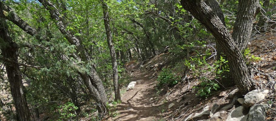
Ojito de San Antonio Open Space (owned by Bernalillo County) is not to be confused with San Antonito Open Space (owned by the City of Albuquerque). This 88 acre open space is an easy, kid-friendly introduction to the east foothills of the Sandia Mountains. Dogs are welcome, if you clean up after them. The open space features a marked 1 1/4 mile long nature trail which you should have no trouble following. The area is dominated by shale and sandstone, so the trail can get muddy. The open space may be closed during times of heightened bear activity (usually the late summer to fall).
To reach the open space from Albuquerque, head east on I-40 and take the Tijeras exit. Stay in the left exit lane and head north on NM 14 (the Turquoise Trail). Just before “downtown” Cedar Crest, turn left onto San Antonio Drive. The church for the historic village of San Antonio de Padua is on the northwest corner of the intersection. Park in the designated lot behind the church, and take the time to read the guideboard for the open space—it includes a trail map and gives you a bit of the history of the place. I’ll include the trail map below, but you can download a higher-resolution PDF here. For a brochure about the history of the open space, click here.

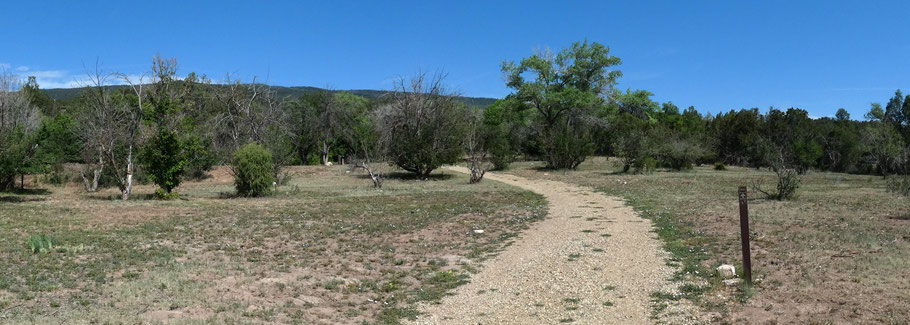
For the actual ramble, head northwest into the small valley making up much of the open space. Start by following the 0.25 mile long, graveled access road, which usually is closed to the public. This part of the walk takes you through what’s left of an old orchard. Near the road’s end it road curls left (to a water well) and the nature trail goes straight, turning into a dirt path. About 60 meters beyond you’ll encounter a trail junction that marks the start of the loop portion of the hike. Follow the loop either way to end up on the ridge to your east. Once you’re up there, the loop offers partial view in several directions.
As the trail map shows, you can shorten your walk by taking a “connector trail.” On a warm morning this alternate route is shady and on the west side of the local ridge, so is a cooler option. If you take the loop clockwise, when you come to a fork turn left to do the longer trail, or turn right to use the connector trail. If you do the loop counterclockwise, when you come to a fork turn left to do the connector trail, or turn right to do the longer trail.