Monte Largo Canyon in the Manzano Mountains
For now (April 2016), just some quick comments about Monte Largo Canyon, a great place to see alligator junipers at their majestic best. The trailhead is at 34 deg. 36.042 min. N, 106 deg. 29.876 min. W; you'd be wise to study Google Earth to see how to get there.
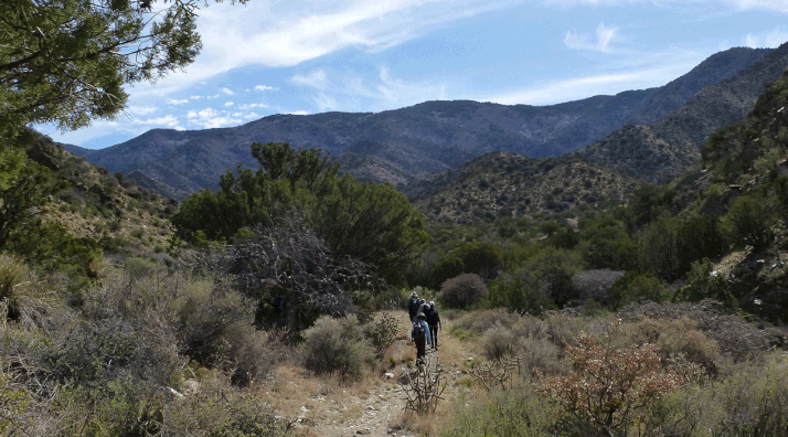
The trail up Monte Largo Canyon is unofficial and the farther you go, the sketchier the trail gets. Hard to get lost, though, when you head up canyon far enough to have lunch, then back down canyon to finish the hike. Just keep heading downstream in the afternoon and you'll get back out. On the trip back there are a couple of places where you can stay on track by making the following choices.
First, as you follow the canyon bottom downstream, there's a point where the trail makes a sharp left turn, leaves the canyon bottom, and heads up and over a saddle to the south. Just after this turn are the steel tanks shown in the picture below. If you hike down to or past the tanks, you've missed the turn in the trail.
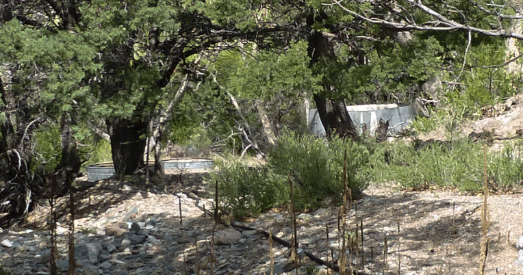
(Not that it matters much; if you continue down the canyon bottom instead of following the trail, you'll rejoin the trail farther down. Which raises the possibility of following the trail in this area while hiking in, and following the canyon down, or vice versa, to add a bit of variety to the trip.)
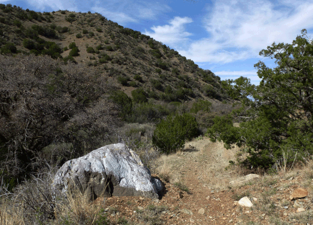
Second, as you reach the lower part of the canyon you'll be on a former two-track (no longer suitable for vehicles). If you're parked at the trailhead it's easy to miss the spot where you turn left off the two-track and follow the footpath to where you parked. The turnoff is just past the rock shown below. Apparently someone missed the turnoff in a previous year and was determined to never repeat the mistake, because the top of the rock is now painted silver.