Rocky Point-Crest Loop Trail on Sandia Mountain
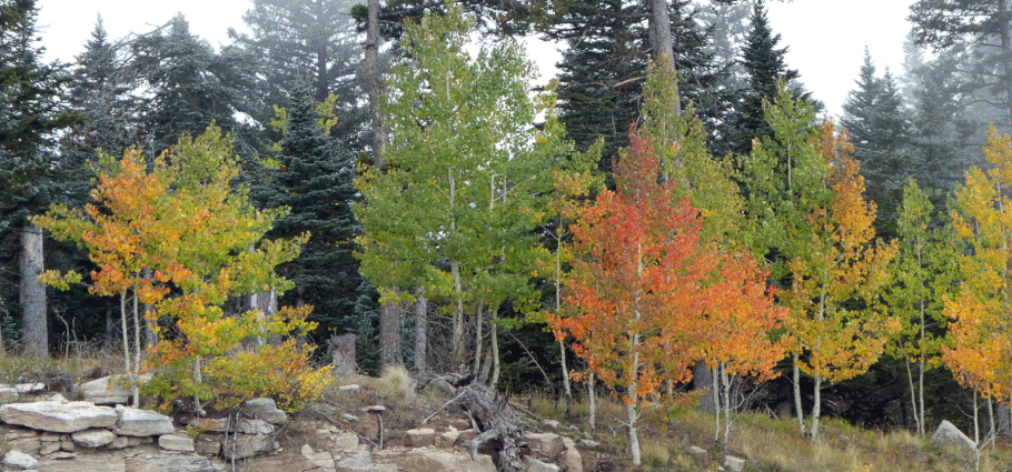
Every summer, Duke City hikers escape the heat on upper Sandia Mountain. My ideal route involves heading north from Crest House along the North Crest Trail, then back along the Survey Trail. With the 2017 fire and trail closure north of Crest House, I was forced to try something different. I'm pleased to report that the Rocky Point Trail is a little gem. Here's a roughly 2 1/2 mile loop that incorporates the wooded seclusion of the Rocky Point Trail with the spectacular views of the Crest Trail.
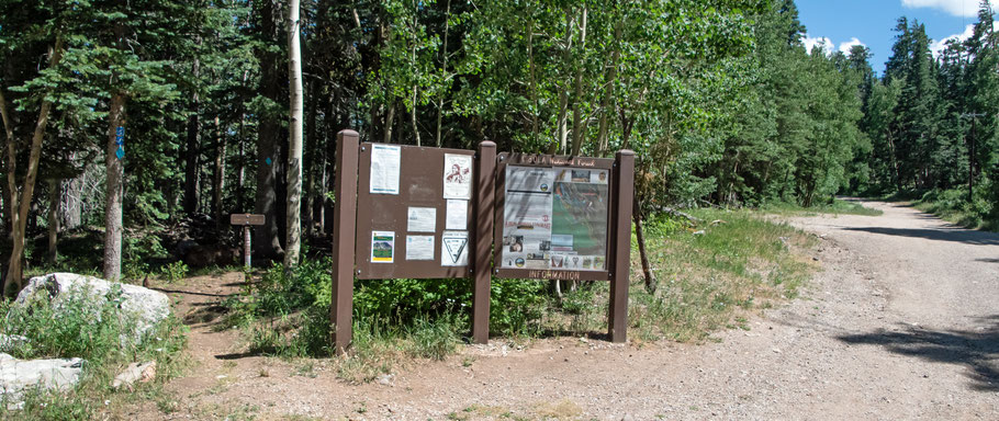
To reach the trailhead, drive up the Crest Highway (NM 536) and turn left into the Ellis Trail parking lot at 35 deg. 12.563 min. N, 106 deg. 26.473 min. W. Once parked, head SSE on Service Road 488. As soon as you're past the gate, turn left off the service road onto the well-marked start of the Rocky Point Trail (No. 9). You'll find yourself rambling through shady, mossy woods with just enough ups and downs to add to the walk.

All too soon, the Rocky Point Trail rejoins Service Road 488 (at 35 deg. 11.954 min. N, 106 deg. 26.083 min. W), but you won't be on it long. For the moment, turn left onto the road and continue south.
As the service road arrives at the ski area, a path veers off to the right (at 35 deg, 11.845 min. N, 106 deg. 26.067 min. W). If you take it, almost immediately you'll find yourself on the Four Seasons Nature Trail (No. 97). You can take that either left or right to reach the Crest Trail (No. 130), but let's turn left. In another minute you'll find yourself at the junction of the nature trail, the Crest Trail, and the La Luz Trail (No. 137). Turn right and head northwest along the Crest Trail, enjoying views of Albuquerque and Kiwanis Cabin. As you pull abreast of the latter, a well-marked turnoff takes you left onto Kiwanis Cabin Trail (No. 93); follow that uphill to Kiwanis Cabin. By the way, the adjacent Kiwanis Meadow is closed to humans.

Once you've admired the view from the cabin, drop back down a bit and follow Kiwanis Cabin Road (No. 94) northward. (If you pass 35 deg. 12.253 min. N, 106 deg. 26.596 min. W, you're on the right track.) Once past the far end of Kiwanis Meadow, you'll rejoin the Crest Trail. Turn right on the Crest Trail, which is soon joined by the Switchback Trail (No. 271). Soon after that, the Switchback Trail splits off again, to the left. Take the Switchback Trail to return to Service Road 488, where you turn left and are scant meters from your car.
The loop described here is only about 2 1/2 miles (4 km), but there multiple ways to extend it. You could take the Crest Trail to Crest House, for example, then take some mix of trails from there back down to the Ellis Trailhead. Those trails are described on a separate web page.
To see a YouTube video of the loop, please click here.