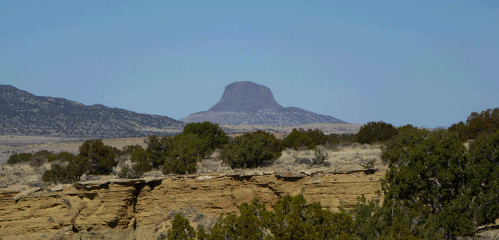
Mesa Bernalillito in the Ojito Wilderness
If you have never hiked off-trail, this is a good one to begin with. If you don't provoke rattlers or walk right off the mesa, it's hard to get in trouble. Not a spectacular hike, just an easy ramble with little chance of encountering another human being. There's a good dirt road all the way to the parking spot, if the weather is dry. The road crosses shale beds and can be impassable after heavy rain or snow.
Heading northwest on U.S. 550 from Bernalillo, turn off on the Cabezón Road. At 35 deg. 28.970 min. N, 106 deg. 50.881 min. W, the road takes a sharp right (westward) turn; take this turn. Follow Cabezón Road as it twists and turns but generally heads west. At 35 deg. 29.137 min. N, 106 deg. 56.457 min. W, Cabezón Road passes under a power line. Turn right on the power line service road, pull off, and park. (If you reach the gas pipeline compressor station, you’ve gone too far.)
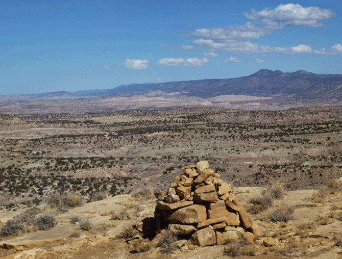
Head north from the parking spot. Pick up and follow the top edge of Mesa Bernalillito. You don't need a GPS to navigate; just keep following the top edge of the mesa counterclockwise. I'll provide some waypoints anyway. At 35 deg. 29.680 min. N, 106 deg. 56.464 min. W, the mesa edge veers northeast. At 35 deg. 30.055 min. N, 106 deg. 55.796 min. W, you have the option of exploring the mesa spur to the east. Or follow the mesa edge north, to 35 deg. 30.489 min. N, 106 deg. 55.796 min. W and a carefully built cairn at the north end of the mesa.
Then follow the mesa edge as it meanders west and south, to 35 deg. 30.099 min. N, 106 deg. 56.454 min. W. There, turn south and return to your parking spot.
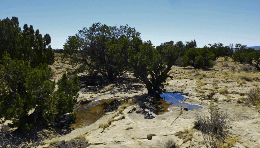
There's no reason you can't wander the interior of the mesa top instead. If you do you'll find a gentle slope that alternates between slickrock and shallow sandy deposits.
One reason that this is a good first off-trail hike is that if you get lost, it would be hard to stay lost. If you are lost, just head downhill across the the mesa top, as it slopes gently to the west. When you reach the power line, turn south (left) and follow it back to your car.