Milne-Gutierrez Canyon Open Space
If you need a quick escape from Albuquerque but in a cooler, shadier spot than the west foothills of the Sandias, here's an easily overlooked option. The John A. Milne-Gutierrez Canyon Open Space (to use its full name) is owned by the City of Albuquerque but it's in the East Mountains, at elevations of about 6800 to 7200 feet. It's heavily forested (mostly by piñons, junipers, and a few ponderosas), providing lots of shade. The trails are well-groomed and carefully signed, so if all you have is the trail map and half a lick of sense, you shouldn't get lost. (I won't even bother providing long-lat values for a GPS.)
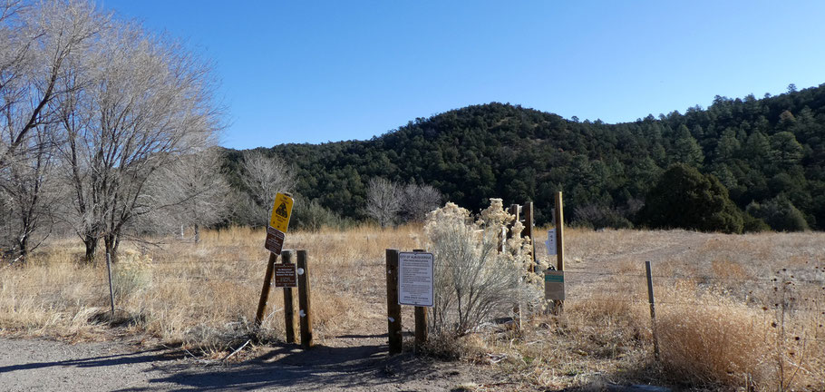
The main trailhead is at the east end of a gravel parking lot on the south side of the Cedar Crest post office, just off NM 14. A secondary trailhead at the southeast end of the open space, off Gutierrez Canyon Road, is tiny, and may be full when you try to park there.

You're never far from NM 14 or residential areas, but it's easy to feel like you're in the middle of nowhere. The open space is welcoming to dogs, mountain bikes, and horses as well as to bipeds. The many trails allow you to create loop options of various lengths. All in all, this is a great year-round area for getting away (but not very far away) from civilization.

The best views are from the ridge that tops out at just above 7200 feet, southeast of the northern Doe Run Trail. The unnamed (?) trail on the ridge isn't shown on the official open space map, so I added it to the version I linked to above. One way to find the trail is to hike northeast on the Arroyo Loop Trail, then continue north and east on the Chaparral Trail past the Doe Run Trail. Near where Piñon Alto Lane (a street) takes its sharp bend, turn southward on the obvious trail. You'll climb onto a sandstone-capped ridge before dropping to the saddle where the Doe Run Trail crosses from the Cedar Crest area into Gutierrez Canyon.