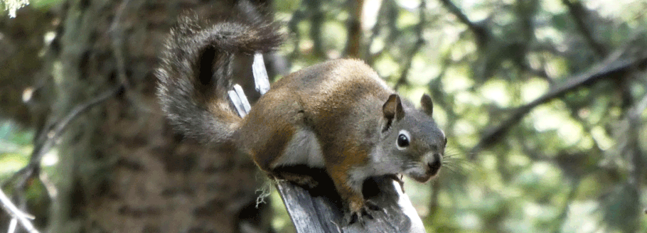
Crest Spur Trail loop hike in the Sandia Mountains

This hike provides a chance to hike the uppermost west face of the Sandia Mountains, as part of a loop hike that mostly avoids the heavily used Crest Trail. On the southward potion of the loop, breaks in the brush provide spectacular views of Albuquerque, the Rio Grande Valley, and beyond. On the northward or return portion, you’ll walk in shady woods. There’s enough up and down to remind your legs why they exist, but with one exception the grades are gentle. The entire loop is only about four miles. To see a video preview of the hike, click here.
To reach the trailhead from Albuquerque, take I-40 east from Albuquerque, then take NM 14 northward and NM 536 to the top of the Sandias. To begin the hike, park at the south end of the lower Sandia Crest parking lot and find the Crest Spur (No. 84) trailhead behind (SE of) Crest House, at 35 deg. 12.567 min. N, 106 deg. 26.924 min. W.

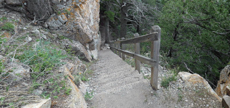
About 100 meters past the trailhead, the trail makes a sharp bend southward. After two more sharp bends in the next 200 meters, you’ll be heading mostly southward beneath the mountain’s crest. At one point you’ll encounter stairs, but that’s the only exception to an otherwise gradual series of ups and downs.
At a saddle at 35 deg. 12.279 min. N, 106 deg. 26.849 min. W, the Crest Spur Trail ends at La Luz Trail (No. 137). Good news: you’re above all of the infamous La Luz switchbacks. Turn left and continue south and east to the top of La Luz Trail, at 35 deg. 11.817 min. N, 106 deg. 26.091 min. W. This is also its intersection with the Crest Trail (No. 130).
The usual return route involves taking the Crest Trail northward, often with a side trip to Kiwanis Cabin. If you’d like to stay off the crest and in the trees, here’s an alternative. Leaving the top of the La Luz Trail, face north but then take the path to the right of the Crest Trail. This is the Four Seasons Nature Trail (No. 97), which heads downslope about 35 meters and turns NNW. At 35 deg. 11.889 min. N, 106 deg. 26.106 min. W, take the Gravel Pit Trail (No. 339) as it branches off to the right. Follow that trail to its north end, where it joins the Crest Trail, at 35 deg. 12.316 min. N, 106 deg. 26.455 min. W.
From there, head north (right) on the Crest Trail. At the north end of Kiwanis Meadow the Crest and Switchback (No. 271) trails merge. At 35 deg. 12.442 min. N, 106 deg. 26.620 min. W, the two trails diverge—the sharp left fork being the Crest Trail, the right fork being the Switchback Trail. Here again, you can choose to follow the Crest Trail back to your car; here again, I assume you want a less busy, wooded alternative. In that case, there's a series of trails you can explore. Specifically, follow the Switchback Trail (the right fork). Almost instantly you’ll come to the start of the Buried Cable Trail (No. 272). Take a left turn to follow the Buried Cable Trail to 35 deg. 12.603 min. N, 106 deg. 26.853 min. W, where it rejoins (and ends at) the Switchback Trail.
Take a left to follow the upper end of the Switchback Trail, reaching Kiwanis Cabin Road (No. 94), at 35 deg. 12.539 min. N, 106 deg. 26.845 min. W. At that road, take a right to return to the lower Crest parking lot. You’ll actually end up at the Crest helipad but a tiny zig to the left and a tiny zag to the right will bring you to the south end of the lot where you parked.