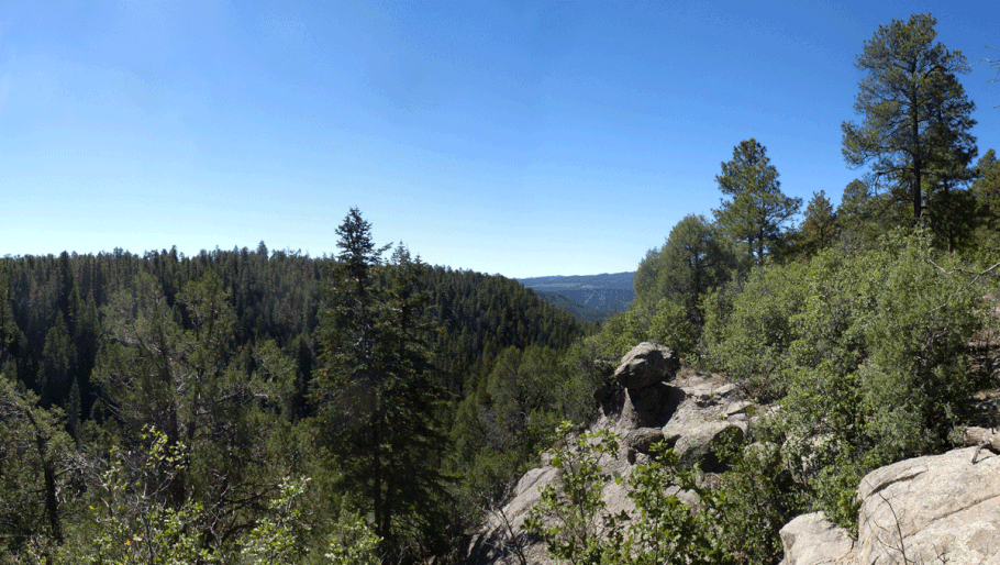
Stable Mesa in the Jemez Mountains
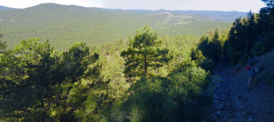
Like so many hikes in the Jemez Mountains, this one involves going up the side of a mesa. Please consider taking along a trash bag and picking up on your way back out.
From San Ysidro, head north on NM 4 and turn onto NM 485, which becomes FR 376. Continue well past the Gilman tunnels. Porter Landing is where FR 376 crosses the Rio Guadalupe in order to follow the Rio Cebolla. Just before the bridge, park at or near 35 deg. 49.085 min. N, 106 deg. 47.276 min. W (7210 feet). Cross the bridge on foot. At the far side (east bank), cut through the trees to your right and begin following the two-track south along the east bank of the Rio Guadalupe. The two-track stays close to the river until it passes the mouth of Stable Canyon. Then it angles up and away from the river, on the flank of Stable Mesa.
At 35 deg. 48.324 min. N, 106 deg. 46.864 min. W, follow the left fork (the trail to the mesa top) not the right fork (the two-track). Angling up the mesa side and gaining 500 feet, you will reach the rim of the Rio Guadalupe canyon at a high saddle, at 35 deg. 47.443 min. N, 106 deg. 46.471 min. W (7800 feet). Here your choices are to turn south (right), to explore a “peninsula” of mesa top, or to turn north (left) to explore the west rim and interior of Stable Mesa. Return the way you came to complete the hike.