Pine Flat loop option in the Manzanitas
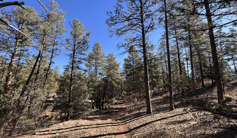
The Manzanita Mountains trail map shows the Pine Flat Connector Trail leaving the south end of the Pine Flat Picnic Area and providing access to a myriad of trails in the area. A different, unofficial route leaves the north end of that picnic area; here I describe an easy loop hike that takes advantage of the unofficial route. When I tried the hike in February 2026, recent snowmelt had turned the local trail system into sticky mud, so save this one for dry weather.
The hike starts at 7235 feet and includes a mix of ponderosa woodland and more open and mixed woodland. According to my app, the hike is 2.9 miles long and includes an ascent of 220 feet. Even with stops to scrape off mud, the inaugural hike took only two hours. Consider doing it in the late morning, then lunching at one of many picnic tables before heading home.
To get to the start of the hike, drive south from Tijeras on NM 337 for about 7 miles, then turn left into the Pine Flats Picnic Area (there’s a brown sign). As soon as you do, you’ll see a sign indicating that the official trailhead is to the right. Which it is, but ignore that sign, turn left, and park at the end of the loop, near the pit toilets and picnic tables. Head northeast and as you leave the picnic area (at 35 deg. 0.947 min. N, 106 deg. 20.211 min. W) a trail takes shape. Follow the trail northeast, into the local drainage and out of it, to a T intersection (BEGIN LOOP) about 100 meters from the picnic area (at 35 deg. 0.991 min. N, 106 deg. 20.170 min. W). The cross trail is the Gamble Spur Trail (05633), but the intersection isn’t marked. Turn left and follow the trail into the bottom of a different drainage. Once there, the Gamble Spur Trail heads out of the drainage bottom and to the WNW, but continue upstream in the valley bottom.
About 35 deg. 1.413 min. N, 106 deg. 19.602 min. W, the Poker Chip Trail (05612) crosses the drainage. Turn right and follow that official trail as it meanders south and east. About 35 deg. 1.120 min. N, 106 deg. 19.340 min. W is the intersection of the Poker Chip Trail and the Gamble Oak (sic) Trail (05618). Until this junction, the hike has been gently uphill; from here on, it’s gently downhill. Turn right onto the Gamble Oak Trail and follow it southwest. About 35 deg. 0863 min. N, 106 deg. 19.842 min. W, the Gamble Spur Trail branches off to the right. Take the Gamble Spur Trail and follow it northwest, until you reach BEGIN LOOP. Having closed the loop, head the final 100 meters back to the parking area.