The "Old Fence Trail" near Cienega Canyon

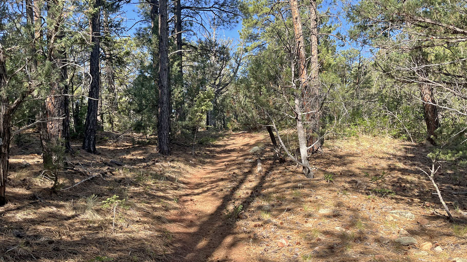
The name of this one is in quotes because the route has no official name or number. Part of the route follows an old barbed-wire fence, hence the name I came up with. As described, this ramble starts near the middle of the route, with options to follow it either upward or downward. Parts of the route cross shale-derived soil, so could be muddy after wet weather.
To access the route, leave the Crest Highway (NM 536) at the Sulphur Canyon turnoff (a left turn). You’ll immediately encounter a fork in the road. If the gate on the Cienega Canyon road is open (roughly May 1 to November 1), take that road (the left fork) over the ridge and down into the canyon. If the gate is closed, take the right fork, park in the first available spot, and walk either the road or the Wagon Trail (228) over the ridge and down into Cienega Canyon. Either way, half a mile from the fork you’ll come to a T intersection and a picnic area with parking and pit toilets. Park in one of the spaces, find the stone steps that lead down from the pit toilets, and head to the picnic table that’s farthest back and somewhat to the right (at 35 deg. 9.881 min. N, 106 deg. 22.607 min. W). Once at that picnic table, take the informal path angling up and to the left (southeast). The path soon bends to the southwest, following what must have been a jeep trail.
At the top of the ridgeline (35 deg. 9.8215 min. N, 106 deg. 22.6625 min. W), you have two options. The first option follows the main trace of the path as it trends southwest (uphill) and then south, to its end at the Armijo Trail (222) at 35 deg. 9.3722 min. N, 106 deg. 22.9349 min. Like a lot of unofficial trails, this section of the Old Fence Trail involves more up and down than you’d find on an official trail. Once at the Armijo Trail, you can head uphill and return to Cienega Canyon using the Faulty Trail, then head down the canyon to where you parked (for a hike of about 3 3/4 miles). Or you can follow the Armijo Trail downhill and around to Cienega Canyon, then head up that canyon to that parking area (for hike of about 2 3/4 miles).
The second option: once on the ridgeline, pick up the less obvious trace that heads east, down the crest of the ridge. This path is faint and sometimes disappears, but you'll see a few sandstone cairns along the route. When you see remnants of the old fence, keep to the left of it. What you get by going this way is an easy downhill walk that ends at the Armijo Trail, at 35 deg. 9.8425 min. N, 106 deg. 22.0915 min. W. For the last few meters of the route the trail dies out completely, and there’s nothing to mark the turnoff from the Armijo Trail. Thus, if you decide to hike the “Old Fence Trail” bottom to top, be sure to have the coordinates of this junction in your hiking app. But back to the loop described here. Turn left (north) on the Armijo Trail and follow it to the lower end of the road system in Cienega Canyon. You can walk the road to get back to your parked car, or you can the use Acequia Trail (227) that parallels the road on its north side. The advantage of the latter is that you’ll be on a dirt path in the trees, as opposed to walking on asphalt, often in sunshine. The loop hike defined by the second option is short, about 1 1/4 miles.