Lower Pine Trail in the Manzanitas
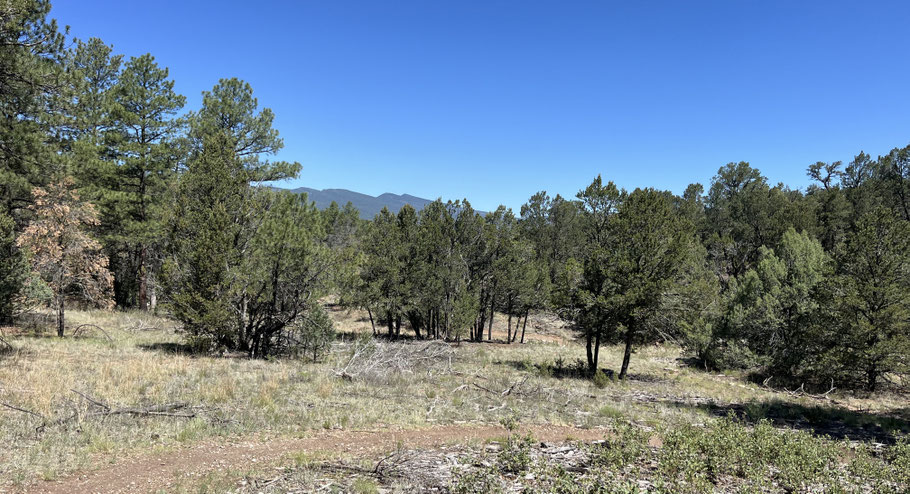
To get to the trails in the Manzanita Mountains, most people head south on NM 337 from Tijeras. There's a different option, which is to park near Zuzax and wander south from there. The Lower Pine Trail is obvious and gentle, and the local terrain is mostly forgiving, so a good place to take kids and dogs. Bikes (including motorbikes) are allowed, so watch out for those. Local elevations range from 6700 to 6900 feet or so, making for good fall through spring rambling (or in the summer, go early in the morning).
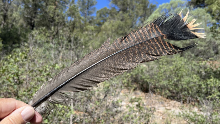
To get to the trailhead from Albuquerque, head east on I-40, take the Zuzax exit, and turn right and right again. This puts you on old Route 66 heading back to town. About 250 meters later, turn left onto Bartolo Baca Road. When the road forks, bear right, onto Kennedy Lane. The road meanders south, then east, becoming Liebre Lane. On reaching Forest Road, turn right. (If this sounds confusing, focus on staying on the main road.) Where Forest Road forks, take the right fork, which is Forest Road 462, and head south. In about 200 meters you'll encounter a parking area. From there, head south on Lower Pine Trail (5606), which follows Tablazón Canyon upstream. You'll find yourself in a lovely little canyon with a mix of ponderosas, junipers, piñons, and other trees.
How ambitious are you feeling? If not very, ramble up the canyon a ways, then head back the way you came. If you're feeling your oats, use the Manzanita Mountains trail map to devise a longer, more complicated route. Either way, it's a lovely place to visit.