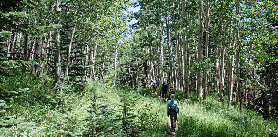
The Double Eagle Trail near the 10K Trailhead

Before August 2025 I listed this trail as the No-Name Trail, since it was unofficial and unsigned. It now has a name (the Double Eagle Trail) and trail number (23). It's a short but lovely ramble that you can do as an in-and-out hike, but it's also good for creating a loop hike high in the Sandias.
To reach the start of the trail, drive up the Crest Highway (NM 536) to the 10K Trailhead. Park across from the pit toilets, or cross the highway after parking at them. At the downhill end of the strip of parking spaces, follow the combined South 10K-Challenge Trail down into the woods. About 150 meters into the trees, at 35 deg. 12.493 min. N, 106 deg. 26.050 min. W, the path forks. The right fork is the start of the Double Eagle Trail.* Soon you'll find yourself following an old road bed that takes you generally southward.
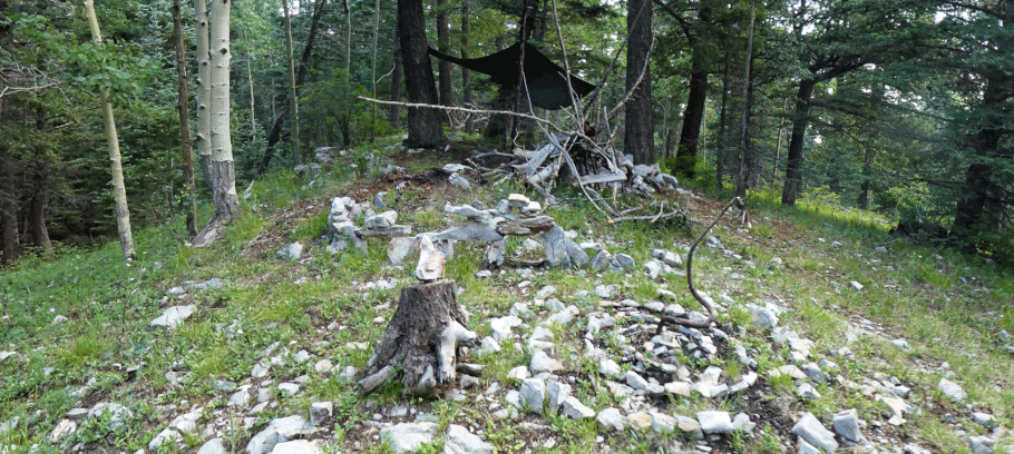
At 35 deg. 12.103 min. N, 106 deg. 25.955 min. W you come to the end of the Double Eagle Trail, at the outer point of a big hairpin turn in a mountain bike trail (the King of the Mountain Trail). You're probably not ready to turn back, I'll describe options for converting the hike into a loop.
If you turn left onto the bike trail, you'll be headed downhill and eventually you'll intersect the 10K South Trail (200). Once you do, turn left (north) and take that trail back to the 10K Trailhead and your car. I'll confess that I quickly tire of walking all the loops in the bike trail and end up following one of the gentler ski runs down to the 10K South Trail, heading back to my car from there.
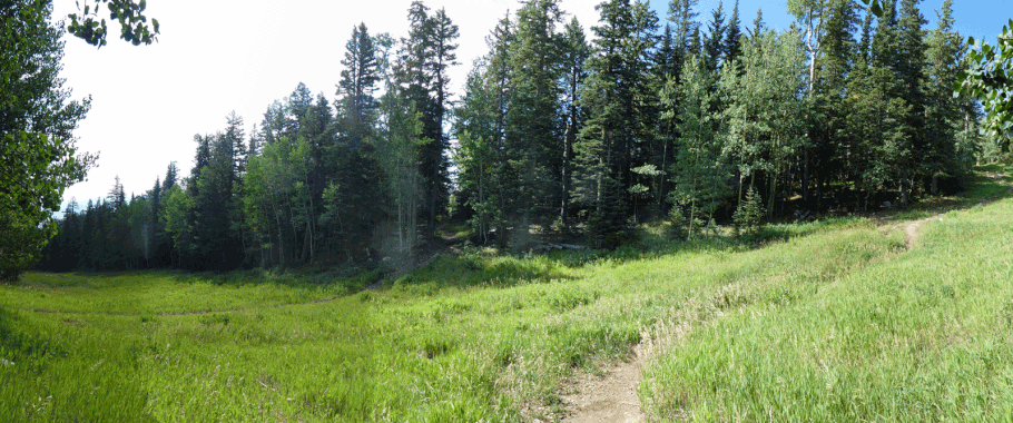
A much shorter version of the loop I just described involves following the Double Eagle Trail to about 35 deg. 12.224 min. N, 106 deg. 260.049 min W, where an inconspicuous turnoff marks the upper end of an unofficial, unmaintained trail. It does have a name at least: the Ridge Trail. Follow that trail down to the 10K South Trail and hang a left.
If you turn right onto the bike trail, you'll be headed uphill and eventually you'll reach the top of the Sandia Peak Ski Area. To get to there sooner rather than later, head up a ski run instead of following the loops in the bike trail.
Once at the top of the ski area, you have multiple options for loop hikes. You can use several trails to trend northward along the crest of the Sandias, then use other trails (including the Challenge Trail) to get back to your car. Or you can take the Crest Trail south to the south end of the 10K Trail and follow that northward to where you parked.
The composite photo provided above shows just how loopy the King of the Mountain Trail actually is. I took the pictures from the "right turn" option I just described. That trail off to the left, a few meters downslope, represents the "left turn" option. Whichever turn you take at the south end of the Double Eagle Trail, it's easy to change your mind once you reach the ski area.
*Previously, the start of what would become the Double Eagle Trail was accessed by following the downhill edge of the meadow extending south from the 10K trailhead, then turning left onto the old road bed. That part of the route has now been blocked with tangles of branches.