Notes on Bluewater Canyon
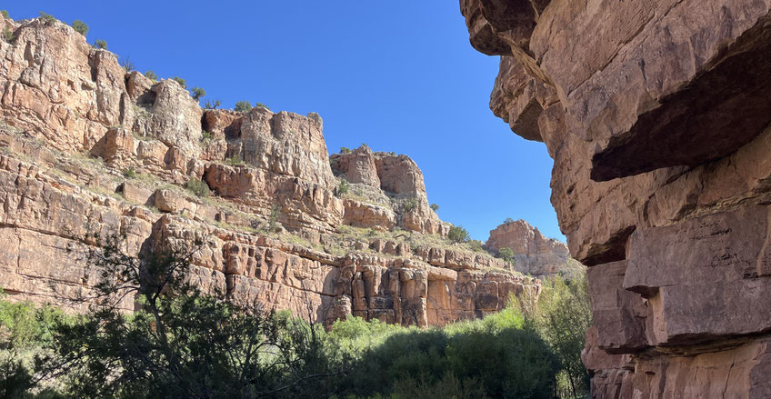
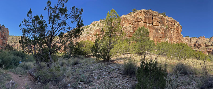
Lower Bluewater Canyon, on BLM land near Grants, is a gem. The trail follows the canyon bottom for 2 miles, at which point the public land runs out and you need to retrace your steps. Fortunately, that means doubling the visual delight. When I visited the canyon in September 2025, Bluewater Creek was running prettily. I only went partway up the trail, but hope to be back soon to do the whole thing.
To access the trailhead from Grants, take I-40 northwest to the Bluewater exit (Exit 72). Take the exit and turn left to cross over I-40. Immediately after doing that, hang a right onto Plano Colorado Road (the frontage road, C.R. 28A) and continue WNW for about 2 miles. Turn left (west) onto Plano Road (C.R. 29) and follow it for about 2 miles. Where Plano Road makes a 90 degree bend to the north, turn off the road and into the BLM’s trailhead parking area. (There is no toilet, so you’d be wise to make a pit stop before leaving the freeway.)
The trail heads from the parking area through the mouth of the canyon. At first the trail is ADA-compliant, but once in the canyon it becomes narrow, sometimes rocky, and sometimes almost overgrown with vegetation. Also, there are multiple stream crossings where you’ll find yourself rock-hopping, so a hiking pole (or even two poles) will help a lot. One last thing to mention: the mosquitos. In the warm months, bring along repellent.