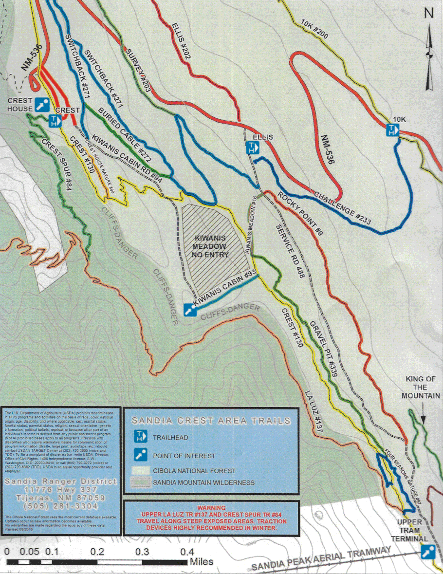
Map of the Sandia Crest XC ski trails
This map, created by the Forest Service, shows trails in the rough triangle between Crest House, the 10K Trail head, and the upper tram terminal. In early June 2017, free copies were available at the Forest Service information desks at Crest House and the Tijeras Ranger District Office. If you have trouble printing out the map from this page, try right-clicking on the map, opening it in a new browser tab, and printing from there.