Capulin Peak in the Sandia Mountains

Like the Tecolote Trail, this route provides an easy ramble (about 1 1/2 miles round trip) that leads to great views. The route is at an elevation where, given enough moisture, the wildflowers run riot. What follows is a variation on the route in Mike Coltrin’s hiking guide.
To reach the trailhead from Albuquerque, drive east on I-40, north on NM 14 (Turquoise Trail), and up into the Sandias on NM 536 (Crest Highway). At 35 deg. 12.933 min. N, 106 deg. 24.955 min. W, turn right into the Capulin Snow Play Site parking lot. Fifty meters later, turn right and park. The area has multiple picnic tables and, during the warm months at least, pit toilets.
To begin this hike, head to the locked gate at the downhill (east) end of the parking lot, where a sign announces the Capulin Spring Trail. Follow the old paved road as it winds downhill. Soon you’ll notice the engineering features at Capulin Spring. A few feet away is a canoa (log trough) with a steady trickle of water. If you're so inclined, two park benches let you sit and relax.
Next, continue down the road, which soon ends next to a meadow. From there a path leads northward. About 60 meters along the path (at 35 deg. 13.095 min. N, 106 deg. 24.876 min. W; "Turnoff"), take the side path that leads uphill. (The main path curls to the right and heads down canyon. More on that below.) You’ll reach the ridgeline and the Capulin Peak Trail at 35 deg. 13.150 min. N, 106 deg. 24.893 min. W (“Junction”). Turn right and follow the ridgeline mostly eastward, enjoying a gentle climb through the woods. At 35 deg. 13.201 min. N, 106 deg. 24.577 min. E, the trail turns southeast. Soon you’ll arrive at the clearing where Capulin Peak is located. Your rewards for getting that far include a great view of the Sandia Mountains.
You might be tempted to turn around at this point, but I encourage you to keep going. At the peak the trail turns sharply from southeast to northeast and descends through the woods. After the trail emerges into a clearing, it ends, about 35 deg. 13.332 min. N, 106 deg. 24.439 min. W. There you’ll be treated to a vista that includes Las Huertas Canyon below you, the East Mountain area, and the Jemez and Sangre de Cristo Mountains in the distance.


Once you reach the second vista, one option is to retrace your steps to your car. To provide a bit of variety on the way back, once you reach “Junction” continue west along the ridgeline. Soon you’ll intercept one of the paved roads of the Capulin Snow Play Site. Turn left (south) and follow the road until you’re almost at the Crest Highway. You’ll see you car parked off to the left.
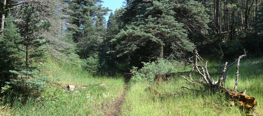
For a slightly longer hike, park at Balsam Glade and use an unofficial but well-used trail from there to Capulin Springs. As this trail heads up a small local canyon, it mostly follows a streambed—so avoid the route during wet weather.
To use the route, turn off the Crest Highway (NM 536) onto NM 165 at the Balsam Glade group picnic area and nature trail. (NM 165, the road down through Las Huertas Canyon to Placitas, is mostly unpaved and in places very rough.) Don’t park immediately; instead bear left and follow NM 165 about 180 meters to a second parking area on your right. Park there and walk down NM 165, north and west, until you reach the apex of a hairpin turn (about 250 meters from where you parked). A path leaves that spot and heads up the local drainage. About 500 meters after you started up the path, you’ll reach the “Turnoff” listed above. Turn right (north) to continue the route to Capulin Peak, or left to reach Capulin Springs and the Capulin Snow Play Area.